
Navionics SonarChart Shading
New feature provides satellite-overlay layer for detailed seafloor renderings.
New feature provides satellite-overlay layer for detailed seafloor renderings.

New charts blend the best of Garmin and Navionics content.

Gathering real-time pictures of the bottom creates more depth and structure awareness.

SonarChart Live, Dock-to-Dock Autorouting and Advanced Map Options now available on multifunction displays

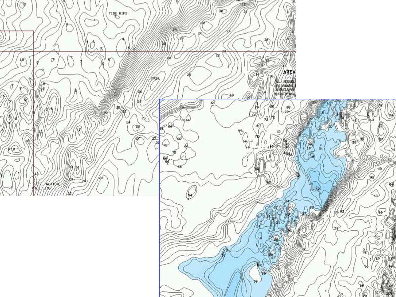
Raymarine’s Jim McGowan compares navigation and bathymetric charts on the gS165.

4D and MAX-N+ 2015 offer new fishing data for Raymarine and Lowrance.
Update current conditions on your fish finder using upload process
New feature provides satellite-overlay layer for detailed seafloor renderings.
New charts blend the best of Garmin and Navionics content.
Gathering real-time pictures of the bottom creates more depth and structure awareness.
SonarChart Live, Dock-to-Dock Autorouting and Advanced Map Options now available on multifunction displays
Raymarine’s Jim McGowan compares navigation and bathymetric charts on the gS165.
4D and MAX-N+ 2015 offer new fishing data for Raymarine and Lowrance.
Update current conditions on your fish finder using upload process