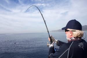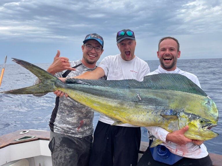
The chart on your screen can make or break your day on the water. Whether you’re running shallow flats for redfish or searching for offshore structure, accurate mapping matters. Raymarine has been steadily expanding its cartography lineup to give boaters better options, and recent announcements show the company is serious about covering everything from backcountry flats to deep blue water.
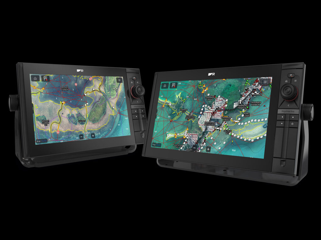
The Axiom 2 Pro and Axiom 2 XL multifunction displays provide the processing muscle these advanced charts need. Both models feature six-core processors that deliver fast redraws and high-definition renderings. But processing power means nothing without quality chart data, which is where Raymarine’s approach to cartography comes in.
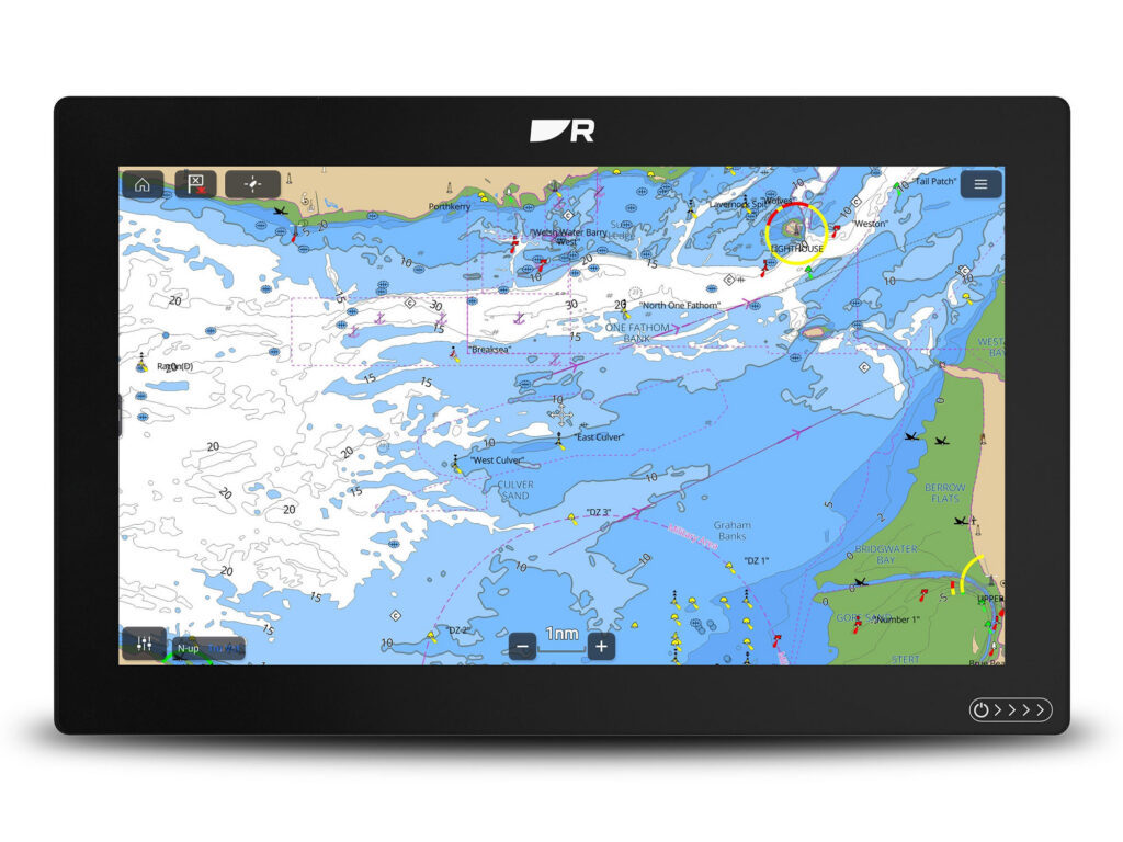
LightHouse Charts GEN 2: Faster Performance, Better Coverage
Raymarine recently released LightHouse Charts GEN 2 for its Axiom displays, and the improvements are noticeable right away. The new maps redraw three times faster than the original LightHouse Charts. That translates to smoother panning and zooming when you’re exploring new water or relocating quickly between spots.
The charts use data from official hydrographic office nautical chart sources and include the latest available information. The global catalog received over 14,000 updates and expanded coverage. Anglers fishing Canada will find more than 3,000 new lakes now mapped. The update also added Baja California coverage and expanded charting for Turkey, Greece, and the Pacific Islands. Northern Europe, Western Europe, the Mediterranean, Oceana, and North America all received updates.
LightHouse Charts offer four color palettes for different viewing conditions, from bright sun to night running. Chart symbol controls let you customize the display to match conditions or personal preference.
For LightHouse Charts Premium subscribers, regular updates keep charts current. Premium also includes enhanced satellite imagery overlays and an extensive library of downloadable points of interest from providers including Marinas.com, Reeds Almanac, Waterway Guide, Navily, and Pagine Azzurre.
“Pairing the increased processing power of our latest chartplotters with an upgraded cartography engine, we have optimized our LightHouse Charts to make them one of the most powerful and information-rich cartography solutions on the market,” said Grégoire Outters, General Manager at Raymarine. “Whether you are relying on Raymarine to get you to your favorite fishing spot or charting a course offshore, LightHouse Charts GEN 2 provides an intuitive and confidence-inspiring navigation experience.”
Florida Marine Tracks: Built for Shallow Water
Standard charts work fine in open water, but Florida’s shallow coastlines and backcountry waterways need something more precise. Raymarine announced that Florida Marine Tracks North Florida charts will be compatible with Axiom displays starting in August 2025. A combined North and South Florida chart on a single card will also be available.
Florida Marine Tracks offers thousands of miles of precisely drawn navigation tracks designed for flats boats, bay boats, and other shallow-water vessels working challenging areas. The North Florida chart covers inland areas north of a line from Sebastian Inlet to North Sarasota Bay, extending to the Georgia and Alabama state boundaries.
What sets Florida Marine Tracks apart is constantly updated data. These maps don’t just rely on government sources. The team double-checks and updates outdated information, providing precise locations for navigation aids including daymarkers, buoys, signs, concrete abutments, and PVC stakes. If you’ve ever gone looking for a marker that wasn’t where the chart said it should be, you’ll appreciate the attention to detail.
The visual clarity stands out. Native aerial imagery features resolution ranging from three inches to one foot, letting you zoom in from 50 to 100 feet with no loss of resolution. The Axiom 2 Pro and Axiom 2 XL’s six-core processors handle these high-resolution charts without lag, delivering fast redraws even when you’re moving quickly through complex water.
“We consistently strive to make our Axiom displays more robust and user-friendly, and the compatibility with the new Florida Marine Tracks North Florida chart gives anglers the tools they need for a successful day on the water,” said Jamie Dery, Vice President of Raymarine Americas. “ISLA’s North Florida marine charts don’t just rely on government data, they double-check and correct any outdated information for the smoothest navigation. This integration is sure to give customers a new level of confidence while navigating the sometimes-challenging shallows across North Florida.”
CMOR NEX GEN: Complete View from Bottom to Surface
For anglers working deeper water, Raymarine now offers compatibility between all Axiom Chartplotters and the new CMOR NEX GEN all-in-one seafloor and navigational chart. The initially released products cover the South and West Florida regions, with the full 13-region catalog rolling out soon.
CMOR NEX GEN combines ultra-high resolution bathymetric imagery with full navigational data and satellite imagery. Everything you need for fishing, diving, or safe navigation shows up on one screen.
The ultra-high resolution bathymetry reveals underwater features including ledges, wrecks, rockpiles, humps, and drop-offs with clear detail. Integrated navigational icons and aids overlay beacons, buoys, and standard symbology so you maintain reference to critical safe passage markers while studying bottom structure.
The charts include recommended routes with preloaded preferred navigation, suggested approaches to harbors, safe entry and exit channels, and optional routing aids based on depth, hazards, and vessel type. Named wrecks, reefs, and submerged features come with labels, making it easier to plan drops or dives at recognized structures.
Additional data layers provide bridge and marina information including clearances, timings, spans, and marina layouts showing slips, fuel, and services. Satellite and aerial imagery layers offer surface imagery of coastlines, islands, mangroves, docks, and land use for visual context.
The smart layering system uses zoom-adaptive display technology that dynamically switches or blends layers as you zoom. Full satellite imagery and bathymetry appear at close range while a simplified base map at distance preserves clarity and performance.
“At Raymarine, we understand boaters have a wide variety of favorites when it comes to the ‘flavor’ of mapping they prefer—whether they’re serious anglers, sailors or daytime cruisers,” said Dery. “CMOR NEX GEN is not just simply a map, it offers the complete marine view from deep water to shorelines. This integration is sure to give our customers a new level of confidence while navigating and exploring new locations across the seas.”
More Options for Every Type of Fishing
Through partnerships with leading cartography providers and continuous development of its LightHouse Charts platform, Raymarine ensures that Axiom display owners have access to charting solutions that match specific needs. Whether you’re plotting courses with LightHouse Charts GEN 2, navigating shallow-water environments with Florida Marine Tracks, or hunting for offshore structure with CMOR NEX GEN, the Axiom platform delivers the processing power and display quality these premium charts demand.
With a legacy of marine navigation technology spanning over 80 years, Raymarine products are known for rugged design, proven performance, and reliability. For more information on Raymarine and its full line of marine products, visit raymarine.com.