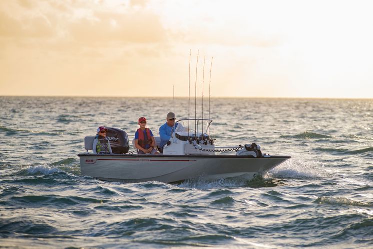
Small Boats for Offshore Fishing
With the right know-how and safety precautions, it is possible to run a small boat offshore.
With the right know-how and safety precautions, it is possible to run a small boat offshore.
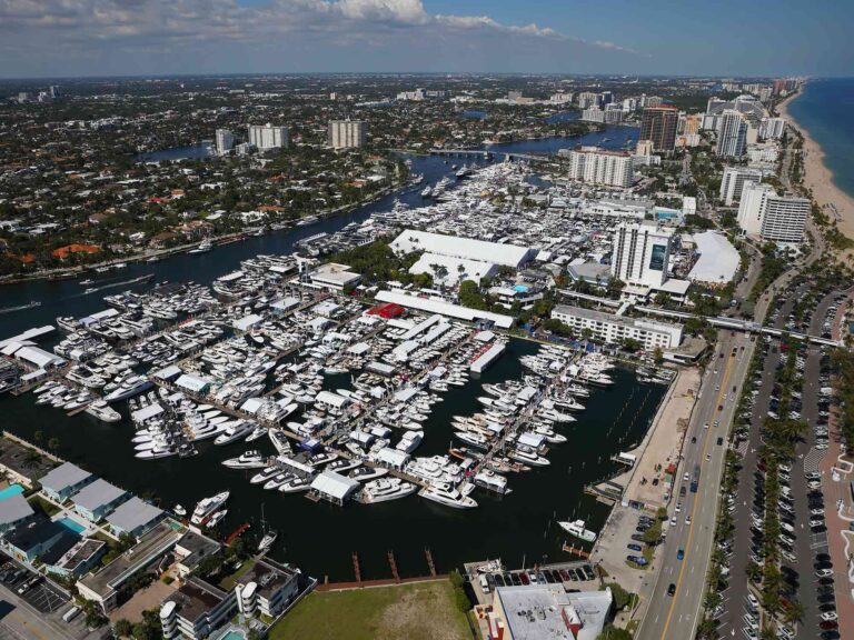
Big boats and new marine electronics take center stage at the Fort Lauderdale International Boat Show.
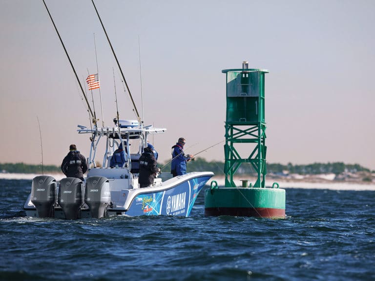
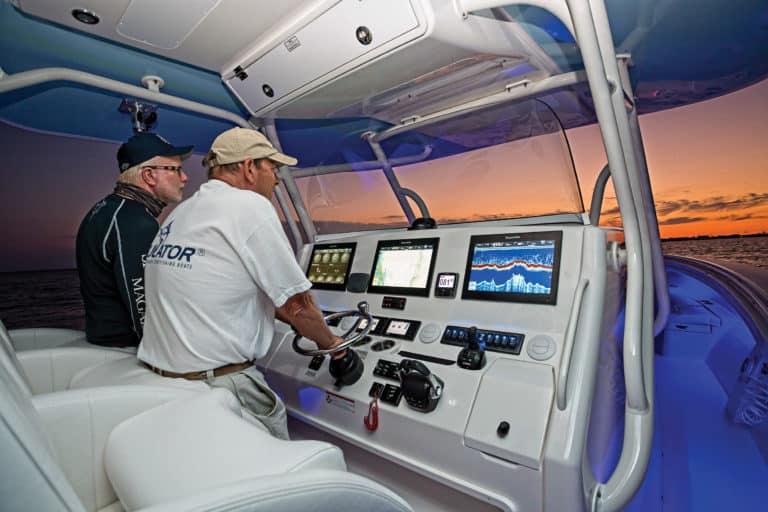
Autopilots integrated with engine controls open up a world of angling advantages.
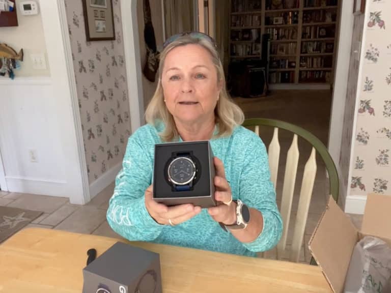
Latest marine smartwatch delivers new boating and lifestyle features.
Latest marine smartwatch delivers new boating and lifestyle features.
We captured video of six new products from the latest software advances to new speakers and a new telescoping boat helm.
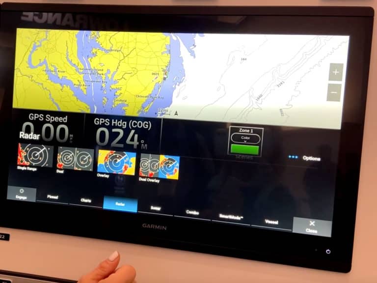
Many new marine electronics are on display at this year’s show.
We chose six stand-out category leaders in the world of marine technology.
Not enough helm space for all the electronics you want? Here are creative ways to add more.
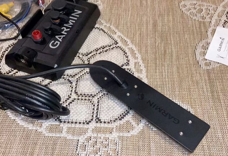
Switching electronics brands? Here are a few tips we found in the process.

Expert tips for selecting the marine batteries for your saltwater fishing boat.
Just 2 Things videos highlight top features from this year’s new technical gear, electronics and accessories products.
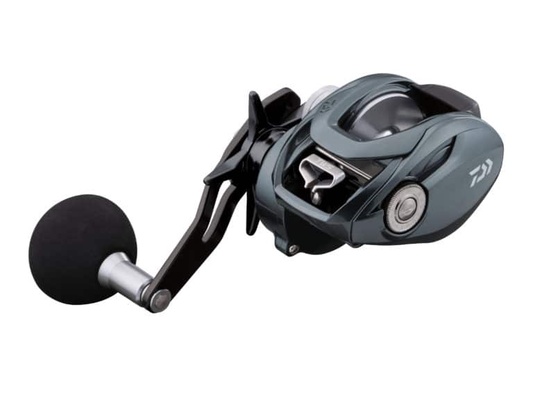
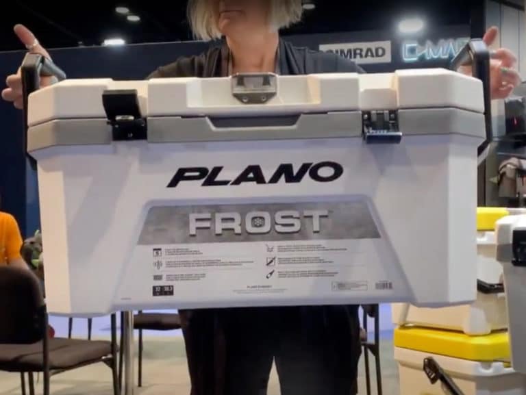
New gear, tackle and accessories.
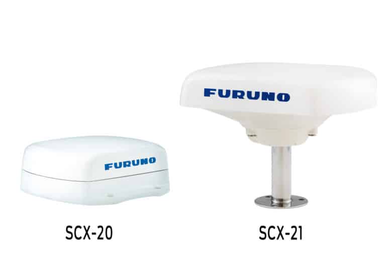
Furuno experts explain how accuracy improves overall efficiency.