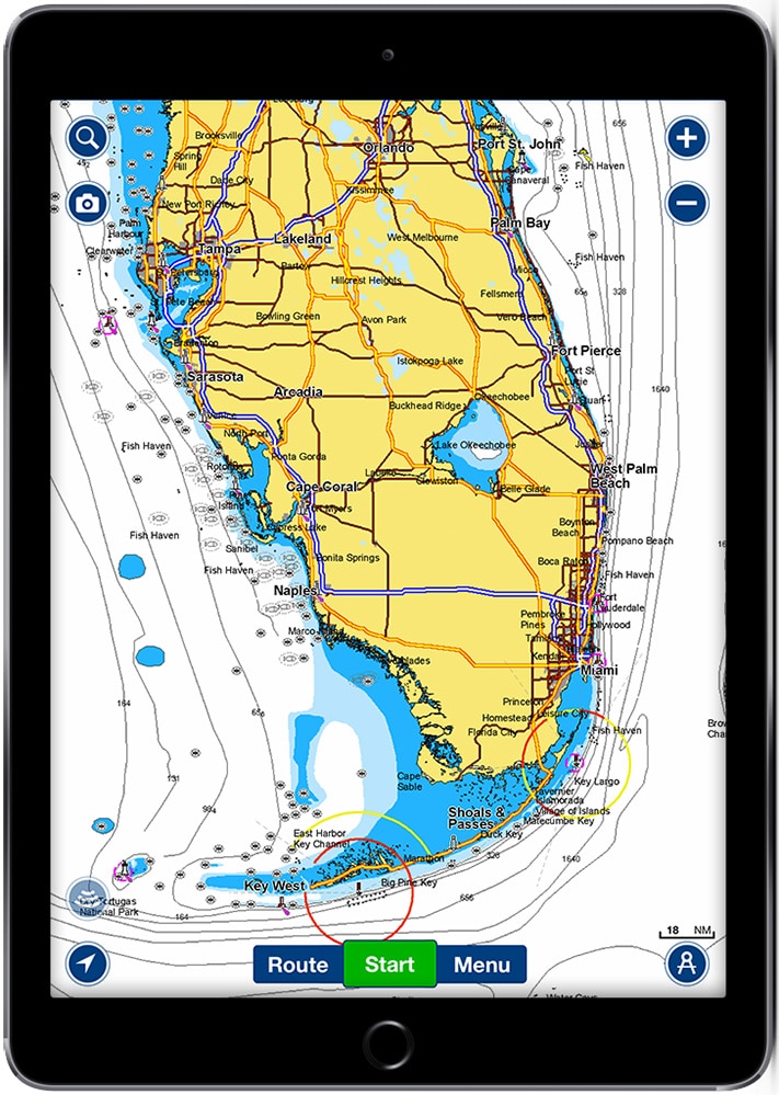
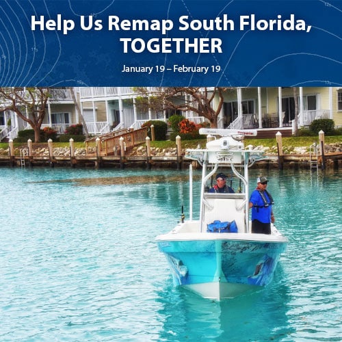
Marine chart provider Navionics has announced a new partnership with industry leaders and the South Florida boating community to remap marine and inland waterways impacted by Hurricane Irma.
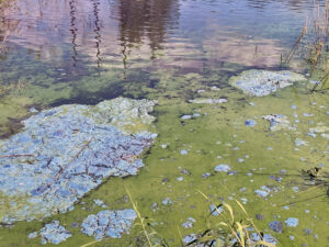
When the hurricane hit South Florida and the Florida Keys earlier this year, shorelines and bottom contours were changed. The month-long project, which will begin Jan. 19, 2018, aims to improve boater safety by remapping the area and removing reported debris. Navionics’ press release announcing the partnership and initiative states that boater participation is needed to record sonar logs and upload data to Navionics. Boaters are also asked to add marine-debris locations throughout South Florida.
How to Upload the Information
Recording and uploading sonar logs to Navionics can be easily done from any boat, as Navionics accepts sonar data from all major plotter/sonar brands. Boaters can record sonar logs on their plotter, then send them to Navionics via Wi-Fi or upload the logs from the plotter card using a computer. Depth data can also be shared through Navionics’ SonarChart Live feature, which creates maps in real time. The depth data will be processed and made available as an updated SonarChart HD bathymetry map. Participants are also encouraged to mark debris areas using the Community Edits tool in the Navionics Boating app, allowing mariners to be aware of potential hazards.
Navionics will share the debris locations with the National Oceanic and Atmospheric Administration, which will then remove the debris. Navionics Nautical Charts will also be updated to include coastline corrections, notices to mariners, and the integration of future NOAA Chart editions when issued. The new content will be available as daily updates, easily downloadable plotter and mobile data and directly visible on the Navionics website for anyone to see. Participants who send in sonar logs of the affected areas by Feb. 20, 2018, will receive one year of daily updates for their plotter cards ($99 value), which includes access to all local chart updates resulting from this event. They will also be entered into a drawing for a variety of boating-related giveaways, generously donated by many of the event partners.
Partnering with Navionics in this effort are: Costa Del Mar; The Florida Keys and Key West tourism council; Florida Keys National Marine Sanctuary; Hawks Cay Resort; Hell’s Bay Boatworks; the Naples, Marco Island, Everglades Convention and Visitors Bureau; Okuma; Power Pole; Sea Tow; West Marine; Yamaha; Yeti Coolers; and Yo-Zuri. Complete event information, sonar logging and uploading instructions, and official rules will be available on the Navionics website at www.navionics.com/RemapSouthFlorida starting Jan. 4, 2018. The website will not include any information prior to that date.
The information also will be available starting Jan. 4 at all participating West Marine locations in South Florida.