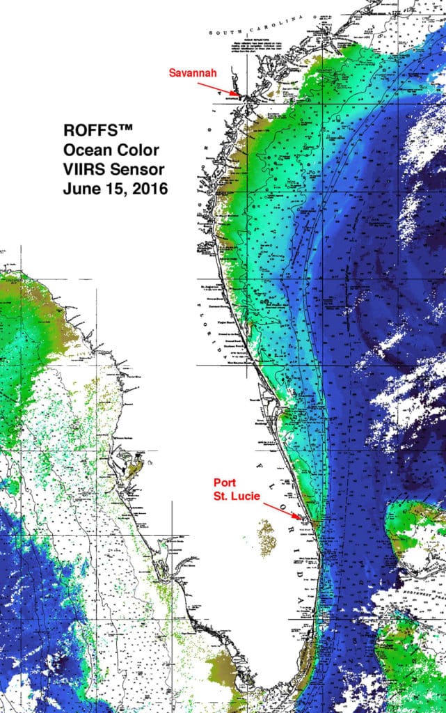
Ocean color image from VIIRS sensor on the Suomi National Polar Orbiting Partnership satellite shows water pollution from Port St. Lucie, Florida up to Savannah, Georgia.
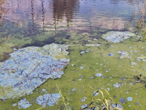
The image, enhanced by ROFFS, shows the discolored water reaching the western side of the Gulf Stream and being carried north approximately 270 miles. This is the polluted water, coming from Lake Okeechobee, that has been diverted to Florida’s east and west coasts instead of being sent down its natural path through central Florida to be cleaned by the Everglades before entering into Florida Bay.
The water appears brown off Port. St. Lucie and by the time it reaches the Savannah area it appears as a blue-green water. The change in color is likely to be due to dilution by the Gulf Stream waters. Other recent satellite imagery does not show this water as clearly as this one due to clouds and other atmospheric effects. This provides evidence that Florida is transporting unhealthy polluted waters to other states.