IGFA logo
Most of you anglers know that collecting good recreational catch data has been problematic on both the state and federal level. As little as a year or so ago, recreational catch data was estimated using the Marine Recreational Fisheries Statistical Survey, or MRFSS.
MRFSS estimated recreational catch data by two primary means: 1) Angler intercepts at likely locations such as docks, piers and ramps; and 2) Phone calls. Both of these methods had issues. First, NMFSS and state agencies did not have nearly enough personnel to adequately cover recreational fishing locations. Think about it. How many times have you been talked to by a state or federal official at a boat ramp? Second, the phone calls were random digit calls. That is, there was no known sampling universe (i.e., list of angler phone numbers), only the white pages to pull numbers from. Needless to say, many calls that were made were to people that didn’t even fish.
The MRFSS program was reviewed in depth by the National Academy of Science in 2006 and was determined to be incapable of collecting the type and quality of data necessary to adequately estimate recreational angler participation rates and catch data beyond a coast-wide level. That means, for example, that estimating catch for most species for a single state was generally not very accurate. Since that time, NMFS has been working diligently on resolving these issues with the new-and-improved Marine Recreational Information Program (MRIP), which is in its initial phase. In the meantime, there have been a number of groups that have been investigating additional methods to gather recreational catch data.
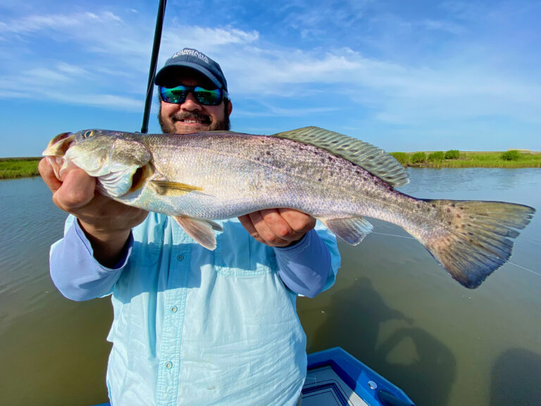
The obvious problem is that there are just too many anglers to census. One part of the solution is to engage anglers in voluntarily reporting their catch and effort information. I know, I know. There are a number of anglers out there that don’t want the “Feds” to know what they are catching. The reality, however, is that we can’t hope to have vibrant, sustainable fisheries without good data. It’s therefore my opinion that we need to be part of the solution instead of part of the problem.
I’m also aware that, even if you’re not 100 percent against reporting your catch data, your time is limited and that you’re not looking for a lot of extra work. Luckily, we now live in a veritable technological wonderland. Take today’s smart phones, for instance. They record an astounding amount of information that requires little effort on the part of the user. Working from a grant from the Gordon and Betty Moore Foundation, IGFA is currently developing an app for the iPhone that will allow anglers to record their catch and effort data with very little effort on their part. With just a simple click or two, the angler will be able to record what species was caught and whether it was retained or not, while the iPhone automatically collects information such as location, time and date. Don’t worry; exact coordinates to your favorite fishing holes will not be given away. But wait, it gets even better. Working with some hotshot computer programmers at Columbia University, we are also trying to include some visual recognition capabilities to the app so that when the user takes a picture of a fish, the iPhone will deliver a list of likely identifications for the fish in question and automatically enter the species name that you select so that you can get back to fishing faster.
You might be saying to yourself, “But why should I participate in something like this?” I’ve got several good reasons for you. First, collecting better recreational catch data is not only vital for properly managing fisheries, but it also helps accurately quantify how important and vibrant this sport is. In addition, we are also developing an online catch log for participants that will utilize the data from the app to benefit you immediately. Participants that use the app will be able to visually see how and where they are catching fish over space and time via Google Earth overlays in a manner that has not been done before. They will also be able to see statics that allow them to correlate their catch rates with variable such as time, date, lunar period and tide. It’s going to be a very cool tool, indeed and won’t require any additional technical savvy than what it already takes to use a computer.
Stay tuned for more information about this exciting project. We are scheduled to launch this app in a small pilot study in Everglades National Park late this spring. Remember, as anglers we need to be driving the bus to collect better data to ensure that we not only sustain our fisheries but improve them. Better data = better fisheries.